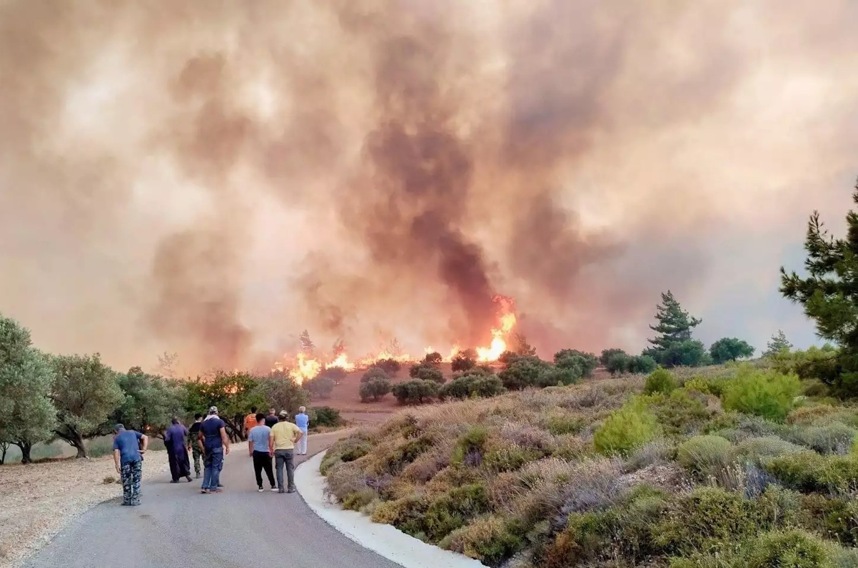
Θλιβερή είναι η εικόνα που δίνει ο δορυφόρος του Copernicus από την καμένη έκταση στη Ρόδο. Σε σχετικό tweet καταγράφεται από πού ξεκίνησε η φωτιά και πού κατέληξε αλλά και πόση έκταση έκαψε μέχρι στιγμής.
Our #RapidMappingTeam supports @GSCP_GR and local authorities in the fight against the Rhodes #Ροδος 🇬🇷 #wildfire
⬅️Burnt areas from VHR imagery acquired yesterday
➡️#EFFIS rough estimate based on the latest hot spot detection from 🛰️thermal sensors#Ροδοςπυρκαγια pic.twitter.com/IsTXacqGOb
— Copernicus EMS (@CopernicusEMS) July 23, 2023
Ο δορυφόρος Sentinel 2 κατέγραψε χθες 23/7 την τεράστια «πληγή» που εμφανίζει ο χάρτης της Ρόδου μετά τη φωτιά που καίει για 7η μέρα χωρίς να έχει τεθεί υπό έλεγχο.
Kατέγραψε ακόμα τη διαδρομή του καπνού που ταξιδεύει ταχύτατα προς νότο.
A massive #wildfire is raging in #Rhodes island, #Greece 🇬🇷
Tens of thousands of people have been evacuated
➡️The @CopernicusEMS #RapidMappingTeam has been activated (#EMSR675)
⬇️#Sentinel2 🇪🇺🛰️ image from 23 July showing the burn scar of the #RhodesWildfire pic.twitter.com/ZB7NsBzuyE
— 🇪🇺 DG DEFIS #StrongerTogether (@defis_eu) July 24, 2023
The wildfires in #Ροδος🇬🇷 are among hundreds to have broken out across #Greece recently
The country has been enduring scorching temperatures, making this July its hottest in 50 years
Yesterday, #Copernicus #Sentinel3🇪🇺🛰️captured this image of the smoke plume drifting south pic.twitter.com/P2mKNLWMGs
— Copernicus EU (@CopernicusEU) July 24, 2023


